
Anjali Maurya
LEADERCSE · DATA SCIENCE — 2ND YEAR
⌂ WELCOME
This manual covers AQUORA end to end — what it is, how the ranking works, what it's built with, and who's building it. One read, about ten minutes.
◐ HOW IT WORKS
AQUORA is a software-only AI/GIS decision-support platform. It combines hazard conditions, household vulnerability and real-time needs to rank affected families — so responders reach the right people, with the right resources, first.
Register
Anonymous ID (H-01…) + GPS location. No names on the map.
Profile
Elderly, infants, mobility, medical needs recorded once.
Report
Live needs: evacuation, medicine, water, food, shelter, hygiene, SOS.
Fuse
Household overlaid on Red / Orange / Yellow / Green hazard layer.
Prioritize
P1 Immediate / P2 Urgent / P3 Standard — every rank carries its WHY.
Decide
Human Priority Map + P1-first rescue list + shelter match + resource gap.
Act & update
Dispatch → Dispatched → Resolved. List recalculates; P3→P2→P1 escalates.
▲ HAZARD & RED ZONES
Inputs: flood extent, rainfall, water level, terrain/DEM, roads & bridges, official alerts. Output is a living zone map that gates everything downstream.
| ZONE | MEANING | ORDERS |
|---|---|---|
| RED | Immediate danger | Evacuate now |
| ORANGE | High risk | Prepare, P2 standby |
| YELLOW | Watch | Monitor P3, check stocks |
| GREEN | Lower risk | Staging + supply base |
Zones recompute as readings change — a YELLOW can turn RED overnight, and every household under it is automatically re-ranked.
● VULNERABILITY & PRIORITY
The core of AQUORA. Rule-based and explainable — no black-box AI deciding lives.
| PART | WHAT COUNTS | WEIGHT † |
|---|---|---|
| Vulnerability | Age flags (under 5, over 65), bedridden, wheelchair, chronic illness, pregnancy. More flags → higher. | 40% |
| Need urgency | SOS / evacuation 10 · medicine 8–9 · water 6–7 · food & shelter 5–7 · top-up ≤ 5. | 35% |
| Hazard severity | RED 9–10 · ORANGE 6–8 · YELLOW 3–5 · GREEN ≤ 3, taken from the live zone map. | 25% |
† Weights and bands are illustrative — set with domain experts before any deployment. As stock runs out or water rises, scores climb on their own: P3 becomes P2 becomes P1.
| HH | PROFILE | SCORE | RANK |
|---|---|---|---|
| H-01 | 82 yrs, bedridden, insulin | 9.4 | P1 |
| H-03 | 2 infants + wheelchair user | 9.1 | P1 |
| H-04 | 68 yrs, alone, 1 day stock | 6.8 | P2 |
| H-02 | 3 healthy adults | 4.2 | P3 |
■ SAFE SITE SELECTION
Output: candidate Site A / B / C. DS3 finds them — it does not promise they can hold everyone. That's DS4's job.
▣ CAPACITY + OFFLINE
Everything is counted in persons-equivalent. The weakest resource decides.
SHELTER_p = COVERED_m² / 3.5 · WATER_p = LITRES / 20 · FOOD_p = MEALS / 3
EFFECTIVE = MIN(SHELTER, WATER, TOILETS, MEDICAL, FOOD)
AVAILABLE = MAX − OCCUPIED − 10% P1 BUFFER
Status: GREEN <70% · YELLOW 70–90 · ORANGE 90–100 · RED full. Example from the demo: 800 need relocation, Site B holds 750 — flagged honestly as “gap 50, split across a second site.”
DAYS OF STOCK = STOCK / (OCCUPANTS × DAILY NORM)
e.g. FOOD DAYS = MEALS LEFT / (PEOPLE × 3)
GREEN > 3 DAYS · YELLOW 1–3 · RED < 1 — SPACE LEFT: 100 − 72 − 10 = 18 FREE
QUEUE local → pending → syncing → synced. Only sub-1KB anonymized packets travel (road / shelter / evac / hazard updates) — store → carry → forward → auto-sync with dedup when signal returns. Names and medical details never leave the device.
◇ TECH STACK
| LAYER | WHAT | WHY |
|---|---|---|
| App | React PWA (this site: Next.js) | Installable, works offline |
| Motion | GSAP ScrollTrigger + Lenis | Scroll-driven storytelling |
| Maps | MapLibre + PMTiles | Offline vector tiles, no key needed |
| Store | IndexedDB (Dexie/idb) | On-device queue + profiles |
| API | FastAPI or Node | Profiles, priority, sync endpoint |
| Data | Postgres + PostGIS | Households + zones as real geometry |
| GIS/AI | Python · sklearn / pandas | Forecasting + clustering only where justified |
| Sync | UUID ops + /sync | Idempotent store-carry-forward |
Data (as we integrate officially): flood/GIS layers, weather, DEM, roads, shelters, inventory, alerts.
⬔ PRIVACY & PRINCIPLES
○ OUR SIH TEAM
ASHOKA INSTITUTE OF TECHNOLOGY AND MANAGEMENT
CSE · DATA SCIENCE — 2ND YEAR

CSE · DATA SCIENCE — 2ND YEAR

CSE · AIML — 2ND YEAR
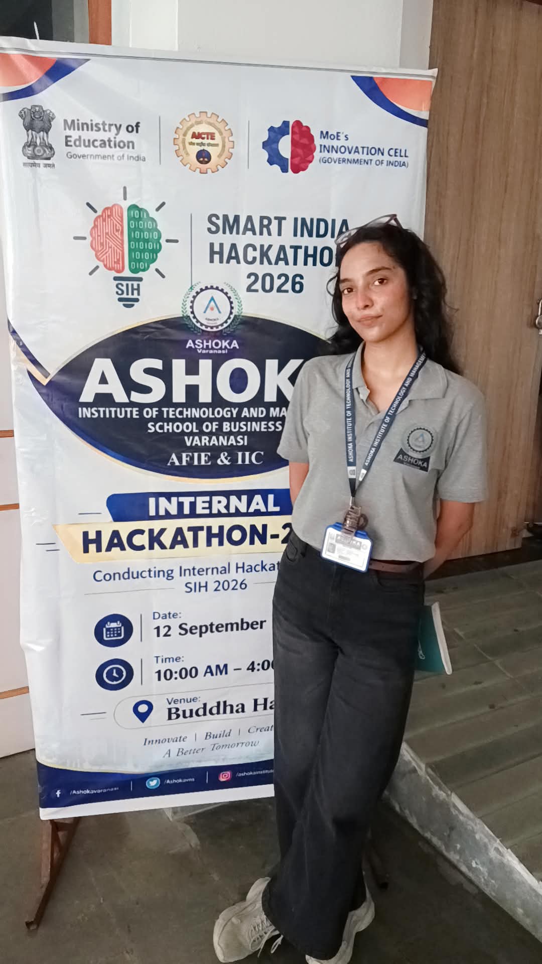
MBA — 2ND YEAR
CSE · DATA SCIENCE — 2ND YEAR
DECIDING SOON
Photos: drop files at public/team/anjali.jpg, archana.jpg, vishal.jpg — cards swap in automatically.
? FAQ
No. The core is rule-based and every rank prints its reason. ML only assists — forecasting, dedup, routing.
None. Software only, by design — it runs on phones the field already has.
The app queues sub-1KB anonymized updates on-device, relays them phone-to-phone, and syncs with dedup when signal returns.
Demo data is simulated. Deployment integrates official sources: flood/GIS layers, weather, DEM, shelters, alerts.